9 Delightfully Easy Hikes in Sedona, Arizona
Note: Advertising is how we keep this site free for you to enjoy, and we earn a commission from affiliate links that may be included in this post. Thank you for supporting Back Road Ramblers!
Here’s a fact — Sedona, Arizona, is fantastically, enchantingly beautiful, and when you hear someone gush about this place being one of the most gorgeous spots in the United States, it’s not just small talk.
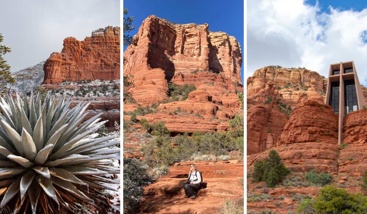
The massive rock formations rising high above the town’s network of roads and neighborhoods elicit a kind of awe that is as magical as it is rare.
It’s no wonder Sedona is regarded as a place that radiates powerful healing and sacred energy. The beauty is almost too spectacular to be real.
For those of us self-proclaimed “outdoorsy folk,” the landscape surrounding Sedona also provides endless opportunities to recreate, recharge, inspire, and transform.
You could spend months exploring Sedona’s trails without hiking the same path twice, and while many require rock scrambles and uphill climbs, there are plenty of easy hikes in Sedona that you can tackle without much effort.
These are hikes in Sedona for outdoor lovers who want to immerse themselves in nature without a serious workout. Pack your binoculars. Your yoga mat. Your picnic lunch.
The following easy hikes in Sedona are perfect for families with kids, but they’re parent and dog-friendly too! Add one or more of these fantastic trails to your Arizona itinerary.
Table of Contents
First, Catch the Sedona Hiking Shuttle to Avoid Trailhead Congestion
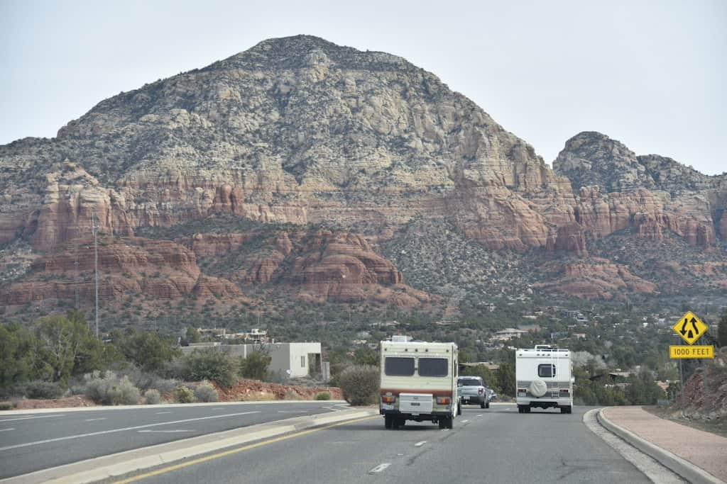
I’m not the only one who loves the gorgeous hiking trails in Sedona.
To ease trailhead congestion, the City of Sedona offers a shuttle service from two in-town park-and-ride lots to the busiest trailheads in Sedona between Thursday and Sunday and seven days a week during Spring Break.
Trailhead parking lots are often in residential areas, and when the shuttle is running (between 7 am and 5:30 pm), the Cathedral Rock and Soldier Pass parking areas are closed.
The Sedona hiking shuttle is free to use and you will not need a Red Rock Pass (for parking) if you ride the shuttle. Dogs are permitted, but they must be in a carrier/crate or wear a muzzle while leashed to prevent mishaps.
Next, Download AllTrails+
There are a lot of trails crisscrossing Coconino National Forest and the wilderness areas around Sedona, and during our hikes through Sedona’s Red Rock Country, it wasn’t uncommon for us to lose our way. Designated wilderness areas limit signage and trails over rock can be hard to follow, especially when there’s a layer of snow on the ground.
AllTrails+ to the rescue!
This is our favorite hiking app for finding trails and staying on them when we’re hiking. The built-in GPS makes it nearly impossible for us to lose our way, and we use the app extensively to research new trails when we travel.
AllTrails is free to download, but AllTrails+ allows you to download maps for offline use, which means you’ll have access even when you don’t have cell service.
Easy Sedona Hiking Trails in Red Rock Country
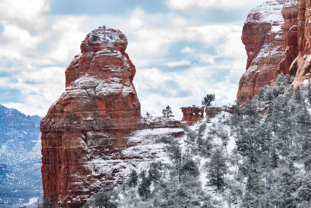
To be clear, I need to point out that the term ‘easy hikes’ means different things to different people, and what I consider easy may be difficult for others. I will say that I am a slow and steady middle-aged hiker who enjoys a good stroll and an occasional challenge.
The following Sedona hiking trails are generally less than six miles long with less than 1,500 feet of elevation gain. My preference when hiking is to avoid crowds as much as possible, but in Sedona, that can be difficult, if not impossible, to do.
I’ve included what I think is a nice mix of iconic must-see trails and more remote paths, which are perfect for weekends when the popular trailheads are teeming with people.
Brins Mesa-Soldier Pass Loop from Brins Mesa Trailhead
Difficulty level: Easy/Moderate
Length of trail: 5.5-mile loop
Elevation gain: 846 feet
Dogs: On-leash
Fee: $5 per day for $15 per week for a Red Rocks Pass, which you can purchase at the trailhead kiosk.
Shuttle? Yes, from Possee Grounds Park & Ride to Soldier Pass Trailhead
Directions to trailhead (Google Maps) to Brins Mesa Trailhead. You can also do this same loop from Soldier Pass Trailhead.
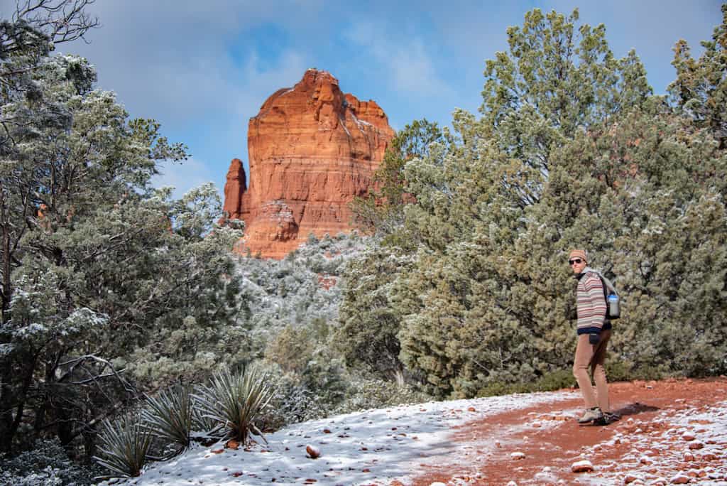
In my humble opinion, Brins Mesa-Soldier Pass Loop is one of the very best hikes in Sedona.
The Soldier Pass Trail section of this loop can be busy, as there are a few beautiful natural attractions in quick succession (Soldier Pass Cave, Devil’s Kitchen, and the Seven Sacred Pools), but the less crowded Brins Mesa Trail makes up for it with gorgeous views of the surrounding rock formations and plenty of opportunities for solitude.
We hiked this loop counter-clockwise from the Brins Mesa Trailhead, but if you start early enough, go clockwise so you can visit Soldier Pass Cave, Devil’s Kitchen, and the Seven Sacred Pools before the trail gets too busy. In February, we saw about 15 other hikers on a Wednesday morning, but when we got back to the trailhead just after noon, the parking lot (room for about 30 cars) was entirely full.
There are a few moderate climbs, but overall this hike was pretty easy and worth packing in a picnic to eat on top of Brins Mesa or next to the Seven Sacred Pools. How gorgeous the red rocks looked with a nice dusting of snow!
Earth Trekkers published a fantastic guide to the Brins Mesa-Soldier Pass Loop, going counter-clockwise from the Brins Mesa Trailhead.
Devil’s Bridge Trail
Difficulty level: Easy/Moderate
Length of trail: 3.9 miles, round trip. If you can drive to Devil’s Bridge Trailhead, it’s only 2 miles, round trip.
Elevation gain:541 feet
Dogs: On-leash
Fee: $5 per day for $15 per week for a Red Rocks Pass, which you can purchase at the trailhead kiosk.
Shuttle? Yes, from Possee Grounds Park & Ride to Dry Creek Vista Trailhead
Directions to Dry Creek Vista trailhead (Google Maps) If you have a high-clearance vehicle, you can continue on Dry Creek Road to park at Devil’s Bridge Trailhead.
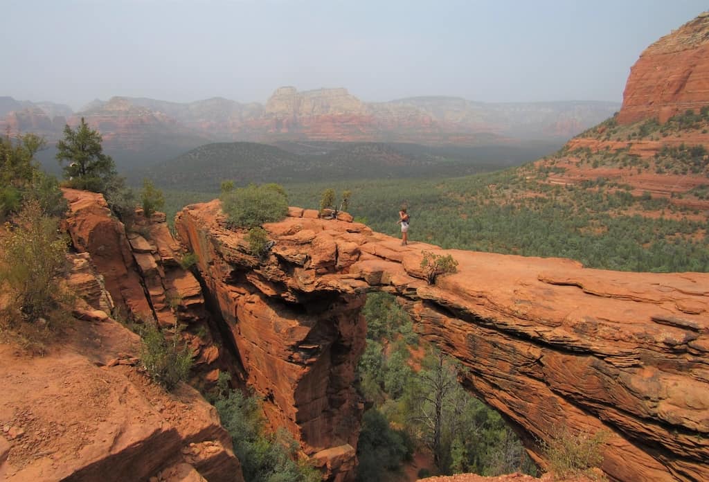
The hike to Devil’s Bridge is one of those incredibly popular trails that is still worth doing, provided you get an early start. It’s a good choice for a mid-week hike, but it will likely still be crowded as it’s one of the most popular hikes in Sedona.
At 54 feet long and 150 feet tall, Devils Bridge is the largest natural sandstone arch located in the Sedona area of Coconino National Forest. While the arch itself is the main attraction, the trail provides incredible views of the red rock formations surrounding Sedona.
The trail begins on a wide, flat forest service road and remains fairly easy until the last half mile when you must climb a few short stone staircases. Depending on the crowds, you will likely have to wait in line to venture out on Devil’s Bridge for a photo.
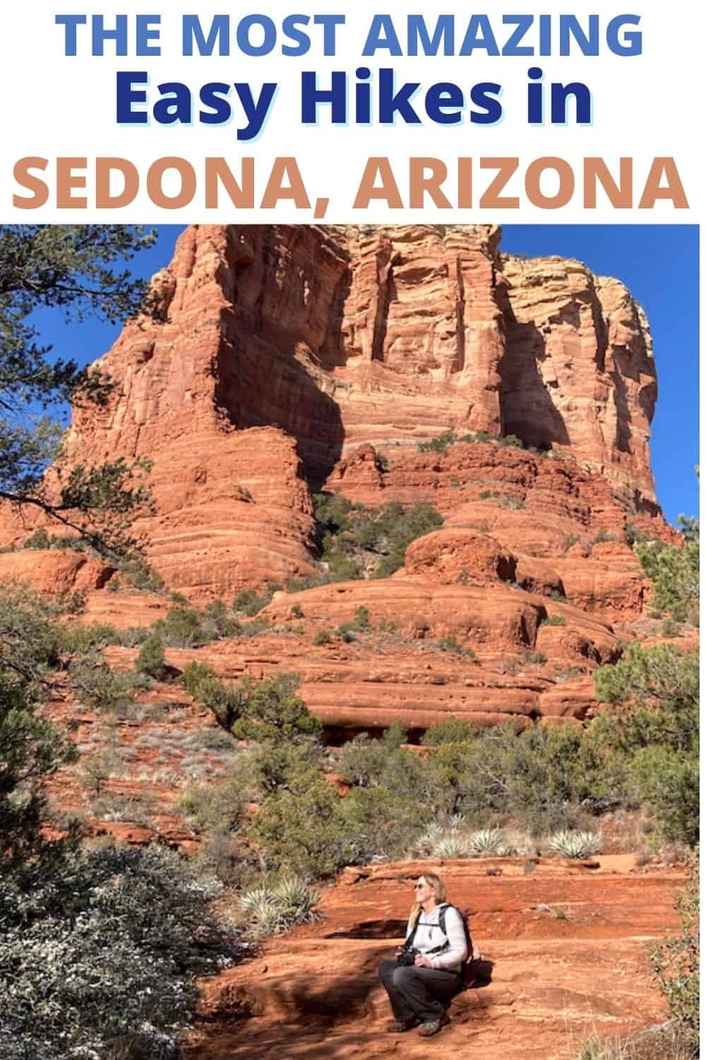
Bell Rock and Courthouse Butte Loop
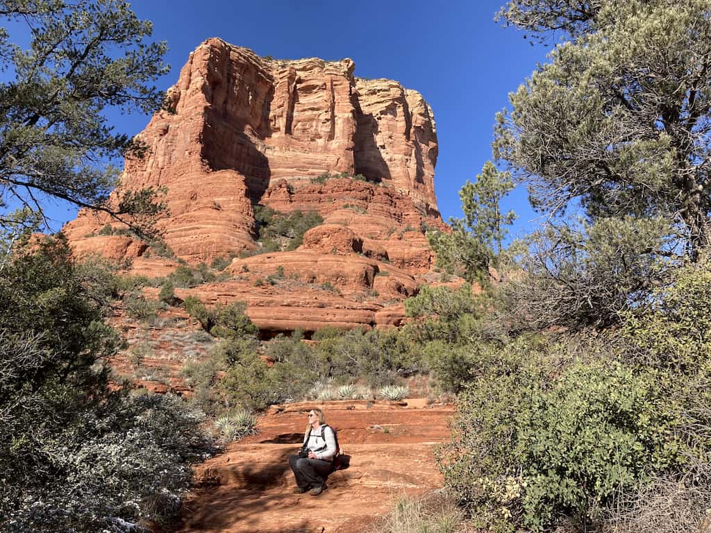
Difficulty level: Easy/Moderate
Length of trail: 3.9-mile loop
Elevation gain:357 feet
Dogs: On-leash
Fee: $5 per day for $15 per week for a Red Rocks Pass, which you can purchase at the trailhead kiosk.
Shuttle? No
Directions to Bell Rock Trailhead (Google Maps)
If you plan to visit Sedona, you’ve likely heard about the Sedona energy vortexes. Although all of Sedona is considered a vortex, there are specific sites where the energy is said to be more intense. Bell Rock is one such spot.
We didn’t know about the Bell Rock vortex when we hiked this loop, but we finished the trail feeling lighter, more energized, and, dare I say, transformed.
Bell Rock-Courthouse Butte Loop was one of the first trails we tried in Sedona and the one that made us realize just how many people love hiking in Sedona!
We arrived at the trailhead around 10 am on a Thursday and snagged the last parking spot. When we got back to our car after hiking, there were a dozen cars just waiting to take our spot. While this trailhead isn’t accessed by the shuttle, it probably should be.
Despite the congested parking area, there was plenty of room to spread out while hiking this loop, and we didn’t see too many people along the trail. I recommend hiking counterclockwise.
You’ll venture around Bell Rock on an easy, flat trail, encounter incredible views, and loop around Courthouse Butte without much elevation gain.
This would be a great walk for kids, and we even saw a few rugged strollers out there.
Fay Canyon Trail
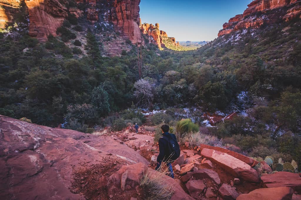
Difficulty level: Easy
Length of trail: 2.3 miles round-trip
Elevation gain:193 feet
Dogs: On-leash
Fee: $5 per day for $15 per week for a Red Rocks Pass, which you can purchase at the trailhead kiosk.
Shuttle? No
Directions to Fay Canyon Trailhead (Google Maps)
While this trail doesn’t gain much elevation and is rated as easy, there are many opportunities for rock scrambling if that’s your thing.
Fay Canyon Trail is lovely on a hot day as the canyon walls keep things cool, and there’s even good tree coverage. Be sure to take the short spur trail to Fay Canyon Arch (a bit of a climb, but worth it).
Technically, this beautiful out-and-back trail can be completed in an hour, but there are so many cool spots to climb around and explore. The AllTrails app was handy for this one, as it’s very easy to veer off-course.
Toward the end of the hike, the canyon walls surround you, and it feels like you’ve entered another enchanted world.
This trail does get crowded, but less so than the other hikes on this list.
Baldwin Trail
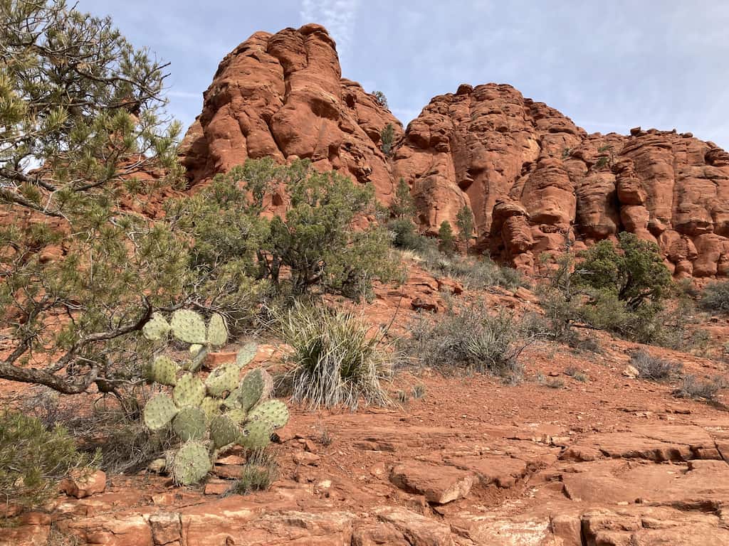
Difficulty level: Easy
Length of trail: 2.5-mile loop
Elevation gain:235 feet
Dogs: On-leash
Fee: $5 per day for $15 per week for a Red Rocks Pass, which you can purchase at the trailhead kiosk.
Shuttle? No
Directions to Bell Rock Trailhead (Google Maps)
While you’ll definitely share Baldwin Trail with other hikers, it’s one of the least popular trails on this list. It’s a good choice for weekend hiking, but you should still arrive early, just in case.
The easy Baldwin Trail Loop is perfect for a relaxing stroll — it’s basically a walk in the park, with just a few uphill sections.
From the trail, you’ll be treated to all the stunning views of the red rocks that you’ve grown accustomed to, including the back side of the iconic Cathedral Rock, which is arguably the most recognized rock formation in Sedona.
We saw lots of birds flitting around during our hike on Baldwin Trail, including lots of woodpeckers, warblers, and hummingbirds. They were especially plentiful near Oak Creek, which we visited by veering off onto Templeton Trail.
There are several trails in the area – use the Alltrails app to stay on course!
Sugarloaf Loop
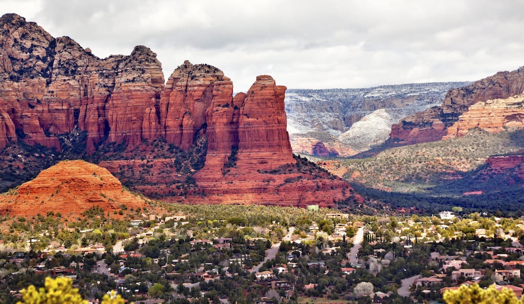
Difficulty level: Easy
Length of trail: 1.9-mile loop
Elevation gain:354 feet
Dogs: On-leash
Fee: $5 per day for $15 per week for a Red Rocks Pass, which you can purchase at the trailhead kiosk.
Shuttle? No
Directions to Sugarloaf Trailhead (Google Maps)
There are a few different ways to tackle Sugarloaf in West Sedona. The loop listed above is for the easy Sugarloaf Loop, which also includes a spur trail to Sugarloaf Summit. This is an ideal mountain ascent for beginners, as the trail is rocky but not terribly steep, and the views are incredible.
Considering the easy climb to reach the summit, this is one of the loveliest easy hikes in Sedona.
Take Teacup Trail to Sugarloaf Loop, and then turn right to clamber up to the summit for a snack with a view. Continue on Sugarloaf Loop until it connects back with Teacup Trail. At this point, you’ll be treated to lovely views of Coffeepot Rock (pictured above).
This is a popular trail, and the parking area is in a residential area and relatively small (room for 10 cars). Arrive early if possible, and find an alternative trail if the parking lot is full.
Airport Loop Trail
Difficulty level: Easy/Moderate
Length of trail: 3.2-mile loop
Elevation gain: 416 feet
Dogs: On-leash
Fee: $5 per day for $15 per week for a Red Rocks Pass, which you can purchase at the trailhead kiosk.
Shuttle? No
Directions to Airport Mesa Trailhead (Google Maps)
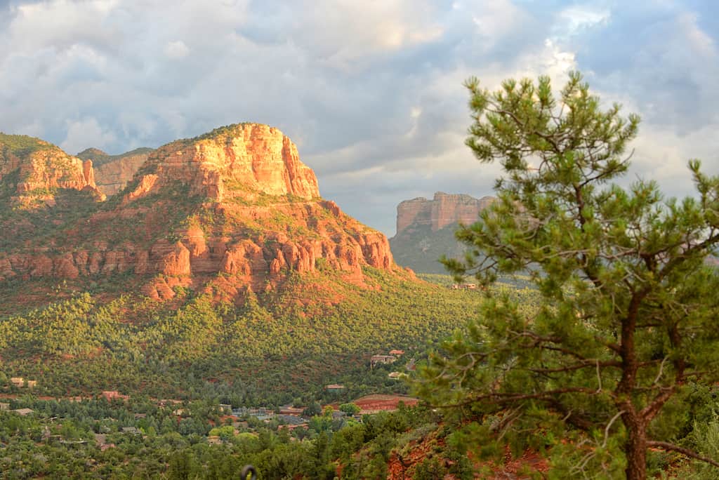
The Airport Mesa area of Sedona is home to the Airport Vortex. Because of its proximity to town, this is one of the most visited Sedona vortex sites. The Airport Loop Trail does not venture up to the vortex, but the trailhead is the same, and it’s a short, steep climb to visit.
As far as elevation gain goes, the Airport Loop isn’t steep, but it is rocky, which means you’ll be looking down as often as you are taking in the gorgeous views. The trail loops around Sedona Airport with great views of the red rock formations towering over the town.
While this isn’t my first choice for Sedona hiking, it’s convenient. It’s also a nice sunrise hike!
Marg’s Draw Trail
Difficulty level: Easy
Length of trail: 4 miles (round-trip)
Elevation gain: 393 feet
Dogs: On-leash
Fee: $5 per day for $15 per week for a Red Rocks Pass, which you can purchase at the trailhead kiosk.
Shuttle? No
Directions to Marg’s Draw Trailhead (Google Maps)
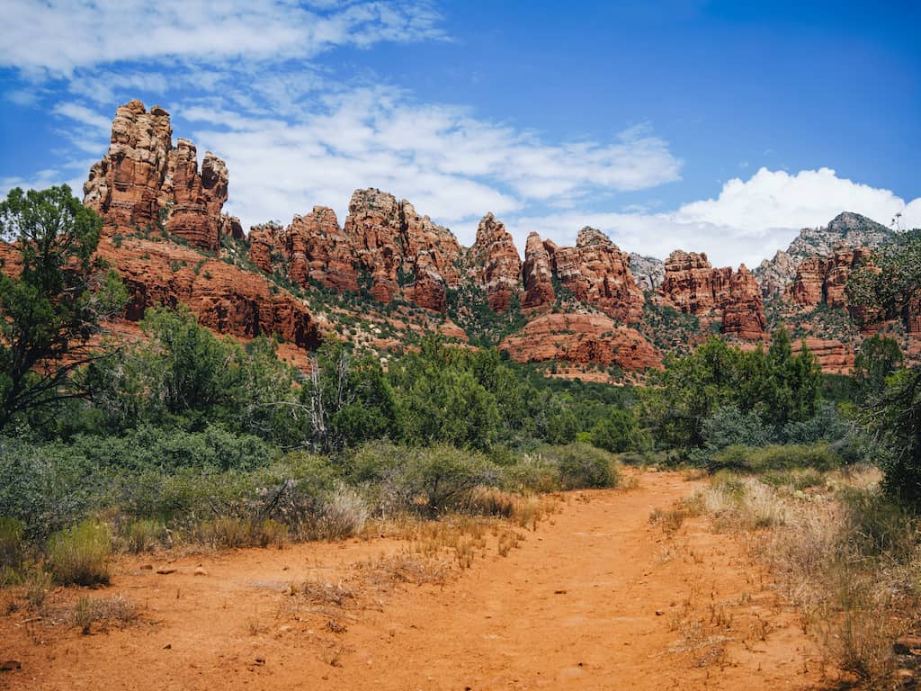
Lest you think that all of the easy hikes in Sedona look the same, stroll through Marg’s Draw, which includes some lovely greenery and trees among the towering rocky cliffs. This out-and-back trail crosses several small streams and bypasses any serious elevation gain.
This is a pleasant walk, and while you’ll likely share the trail with others, it’s not quite as crowded as some of the more popular hiking trails in Sedona.
A portion of Marg’s Draw Trail travels through Munds Mountain Wilderness in Coconino National Forest, so signage will be limited. Use the AllTrails app to stay on course, and you’ll be fine.
Chapel Trail
Difficulty level: Easy
Length of trail: 1.3 miles (round-trip)
Elevation gain: 170 feet
Dogs: No
Fee: No
Shuttle? No
Directions to Chapel of the Holy Cross (Google Maps)
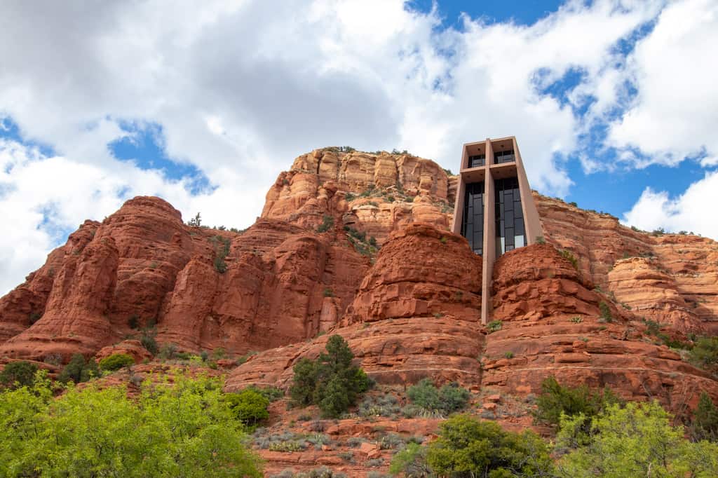
Chapel Trail is a partially paved, easy trail that starts at the iconic Chapel of the Holy Cross, which is a must-see while visiting Sedona.
Designed by a Frank Lloyd Wright student, Marguerite Brunswig Staude, the chapel was built in 1956 and rises 200 feet from the ground between two large red rock formations.
This is a lovely setting for spiritual reflection and prayer, and of course, the views are stunning. The Chapel of the Holy Cross is open every day except Christmas Day, Thanksgiving, and Easter.
After visiting the chapel, head out on this short hike past East Twin Butte and Christianity Spire. Despite the crowds at the chapel, the trail is usually pretty quiet.
Turn around when you get to the junction with Little Horse Trail, or turn left to check out the views from Chicken Point.
When is the Best Time for Hiking in Sedona?
Unlike many other parts of Arizona, Sedona experiences four distinct seasons. Winter can be cold and snowy, but it’s an ideal time to hike in Red Rock Country.
All of these trails are doable (and beautiful) during the winter months, and many of our photos were taken in February. You may need to wear Microspikes, but because these trails are pretty short, you should be able to accomplish them without issue.
Spring and Fall are equally lovely, just a bit more crowded.
Summers are very hot, and while hiking Sedona in the summer is fun, be sure to prepare yourself with sun protection and extra water.
What to Wear Hiking in Sedona?
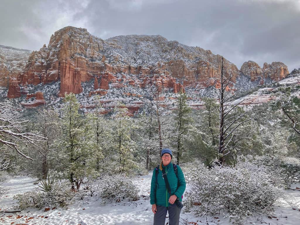
Layers will be your friend while hiking in Sedona, especially in the winter! Here are some suggestions for what to wear while tackling these easy Sedona hikes.
- Hiking pants: I recommend hiking in long pants, even in the summer. Lightweight pants will keep critters and prickers away.
- Hiking tights: For cooler temps, layer a pair of leggings or tights under your hiking pants. These amazing leggings are lined with merino fleece and can be worn with or without hiking pants throughout fall and winter.
- Wool socks: Wool is my favorite fabric for hiking year-round. I wear Darn Tough Vermont wool socks in the summer and winter. I love that they are made in the USA and have a LIFETIME guarantee. They come in sizes for men, women, and kids.
- Wool top: Guess what? I’ve found the softest wool layers for hiking. They are made by Ibex, and they wick away moisture, dry fast, and can be machine-washed. The best part is they keep you cool in the summer and warm in the winter. And no matter how much you sweat, they don’t stink!
- Puffy layer – A lightweight puffy jacket is indispensable for winter hiking in Sedona. They are incredibly warm, and they pack up very small. I wear mine all winter and keep it in my daypack in the summer and fall, just in case. My favorite down layer is from Stio and has lasted many years.
- Hiking shoes – Because Sedona is a rocky, rooty state for hiking. I recommend sturdy hiking boots over trail runners or sandals. I love my Oboz Bridgers because they have a narrow heel and a wide toe box, but as long as they’re sturdy, bring whichever brand works best for you.
Explore More of Arizona!
Are you planning on exploring more of Arizona this year? Check out some of our favorite posts for more outdoor adventures in this beautiful state:
- The Most Awesome Things to Do in Lake Havasu, Arizona
- Lost Dutchman State Park: Great Camping Near Phoenix
- Incredible Glamping Destinations Near the Grand Canyon
- The Best Grand Canyon Camping: Desert View Campground
Follow us on social media for more hiking inspiration!

Tara Schatz is a freelance writer and travel blogger with a passion for outdoor adventures. She is the co-author of AMC’s Best Day Hikes in Vermont and currently blogs at Back Road Ramblers and Vermont Explored, where she shares travel tips, adventure destinations, and vacation ideas for the wanderer in everyone.

