
14 Easy Hikes in the Berkshires, Massachusetts (Plus a Few Tougher Trails)
Note: Advertising is how we keep this site free for you to enjoy, and we earn a commission from affiliate links that may be included in this post. Thank you for supporting Back Road Ramblers!
The allure of charming New England villages with world-class culture may draw you in, but the far-reaching vistas, marvelous waterfalls, and beautiful backcountry trails will never let you go.
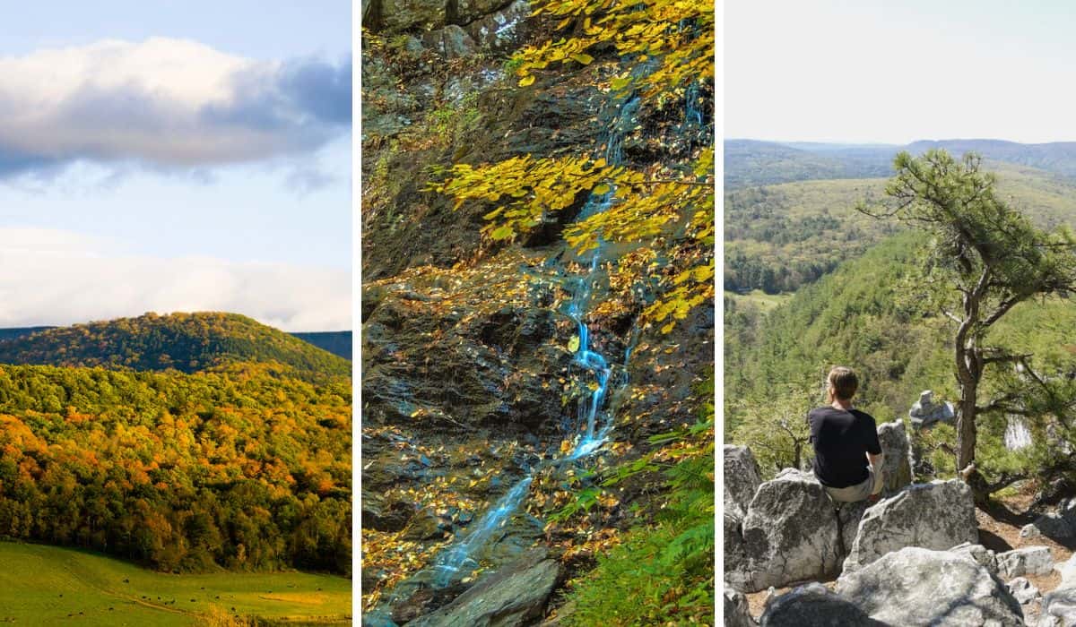
Once you discover the incredible hiking in the Berkshires, you’ll be a fan for life.
Not much compares to a day in the woods, and the Berkshire Mountains offer hundreds of miles of trails for every type of hiker.
Waterfalls are plentiful in these hills, as are small ponds, lush meadows, and bald mountain summits.
Here are some of the best day-hiking trails in the Berkshires. Most are perfect for novice hikers, families, and casual adventurers, and we’ve added a few tougher hikes for when you’re ready for more.
Table of Contents
At-A-Glance: Our Favorite Hiking Trails in the Berkshires
| Hike | AllTrails | Distance / gain | Difficulty | Dogs | Fee |
|---|---|---|---|---|---|
| Northern Berkshires | |||||
| Pine Cobble Trail | Trail guide | 3.2 mi / 1,417 ft | Moderately strenuous | Yes | Free |
| Clark Art Institute Trails | Trail guide | Varies / minimal | Easy | Leashed | Free |
| The Cascades Trail | Trail guide | 2.1 mi / 240 ft | Easy | Yes | Free |
| Sunset Rock | Trail guide | 1.6 mi / 275 ft | Easy to moderate | Yes | Free |
| Spruce Hill | Trail guide | 5.7 mi / 850 ft | Moderate to strenuous | Yes | Free |
| March Cataract Falls Seasonal road | Trail guide | 2.3 mi / 469 ft | Easy | Leashed | Free |
| Natural Bridge State Park Seasonal gate | Trail guide | Under 1 mi / minimal | Easy | Leashed | Free in 2026 |
| Money Brook Falls Seasonal road | Trail guide | 1.1 mi / 396 ft | Moderate | Leashed | Free |
| Stony Ledge Seasonal road | Trail guide | 1.9 mi / 246 ft | Easy | Leashed | Free |
| Southern Berkshires | |||||
| Stevens Glen | Trail guide | 1.1 mi / 282 ft | Easy to moderate | Yes | Free |
| Bash Bish Falls | Trail guide | 0.6 or 1.5 mi / 150 ft | Easy to moderate | Leashed | Free |
| Monument Mountain | Trail guide | 3.8 mi / 538 ft | Easy to moderate | Leashed | $10 parking* |
| Bartholomew’s Cobble | Trail guide | Up to 5 mi / varies | Easy to moderate | No | $5 adults* |
| Mahanna Cobble | Trail guide | 3.2 mi / 600 ft | Easy to moderate | Yes | Free |
| Pleasant Valley Wildlife Sanctuary | Trail guide | 1.3 mi / 98 ft | Easy | No | $5 adults* |
| Tyringham Cobble | Trail guide | 2.1 mi / 439 ft | Easy to moderate | Leashed | Free |
Distances are round-trip. *Nonmember rates. Free for Trustees or Mass Audubon members.
First, Download AllTrails Plus
Many trails crisscross the Berkshire Mountains, and it’s not uncommon for several trailheads to lead to the same summit. While most of the trails listed here are intuitive and easy to follow, the directionally challenged (raises hand) may need a confidence boost to ensure they’re headed down the right mountain.
AllTrails Plus to the rescue! This is our favorite hiking app for finding trails and staying on them. The built-in GPS makes it nearly impossible for us to get lost, and we use the app extensively to research new trails.
AllTrails is free to download, but AllTrails Plus lets you download maps for offline use, so you can access maps and trails even without cell service. For extras like custom routes and weather overlays, the AllTrails Peak membership adds those on top of AllTrails Plus. Use our referral link for 30% off your subscription ($25.19 instead of $35.99)
Hiking in the Berkshires: Northern Region
These hikes are in the Northern Berkshires, just south of the Vermont border, and include the towns of Williamstown and North Adams, plus several trails on Mount Greylock. Download your maps on AllTrails Plus before you head up the mountain in case you lose service.
Pine Cobble Trail, Williamstown, MA
Difficulty level: Moderately strenuous |Length of trail: 3.2 miles, round-trip | Elevation gain: 1,417 feet |
Dogs: Yes | Fee: Free | Trail Guide | Directions to the trailhead on Google Maps
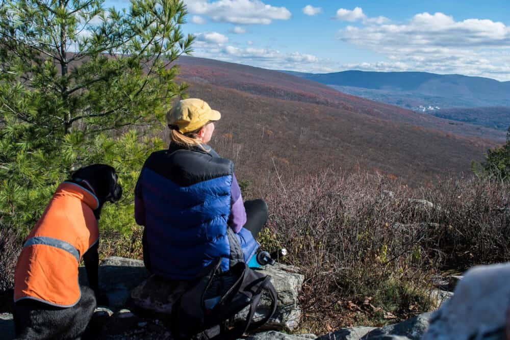
Pine Cobble Trail in Williamstown begins on Pine Cobble Road and takes you to the Pine Cobble summit at 1,894 feet. From there, the trail continues another half mile to meet the Appalachian Trail, which heads south to Georgia or north to Maine.
From the summit, you’ll have a 360-degree view of the surrounding mountains, as well as the towns of Williamstown and North Adams.
The trail is a steady climb, with one short, relatively flat section. It ascends through a lovely oak forest, especially beautiful in the fall. Wildflowers and mountain laurels are abundant in the spring. The summit features “cobbles,” rounded outcroppings perfect for picnicking and relaxing while you take in the far-reaching view.
The Clark Art Museum Trails, Williamstown, MA
Difficulty level: Easy | Length of trail: Varies. Several connecting trails cover the 140-acre campus | Dogs: On-leash | Fee: Free to walk the trails. There is a fee to visit the museum. | Trail Guide | Directions to the trailhead on Google Maps
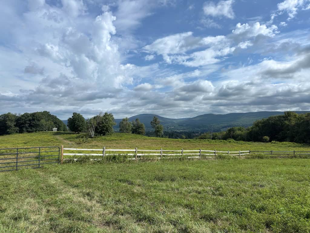
If you happen to be visiting The Clark Art Institute to check out world-class, classical art exhibitions, be sure to take time to head up the hill and explore the trails behind the museum. Even if you don’t care a bit about art, you should still walk these trails, which are lovely in all seasons.
Meander through meadows and manicured woods, and take in the incredible views of the Berkshire Mountains. Several trails crisscross the 140-acre campus, and you can combine them to create the perfect walk. All trails are easy on the legs and well manicured.
Read Next: The Best Family-Friendly Museums in the Berkshires
The Cascades Trail, North Adams, MA
Difficulty level: Easy, except for one small section where you have to scramble along the bank. | Length of trail: 2.1 miles, round-trip | Elevation gain: 240 feet | Dogs: yes | Fee: Free | Trail Guide | Directions to the trailhead on Google Maps
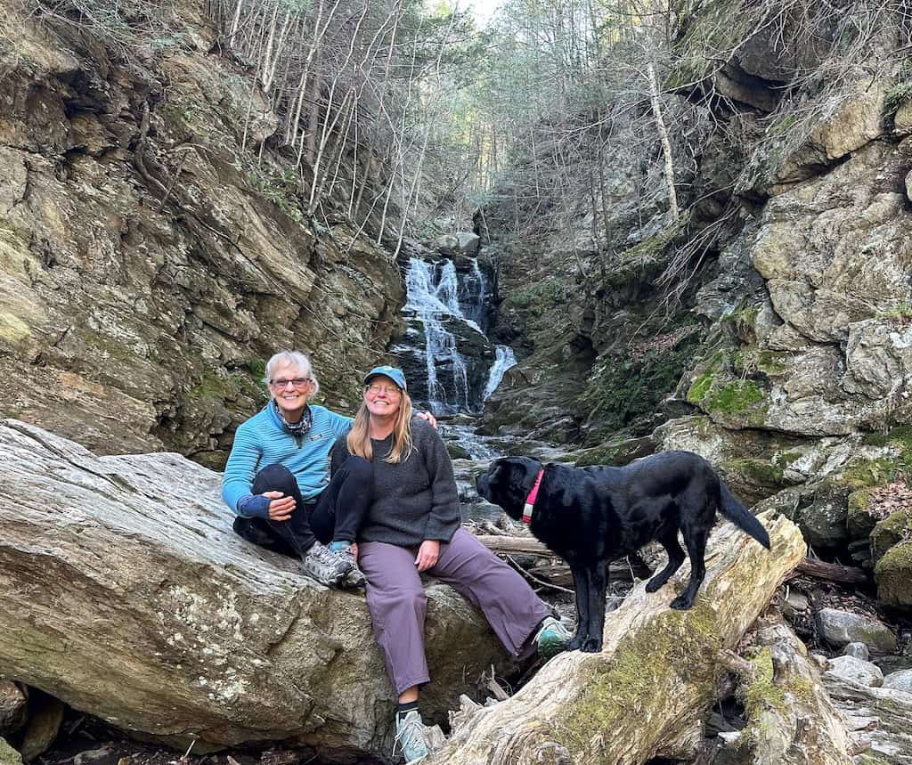
The Cascades Trail in North Adams begins at the local YMCA and travels through a residential neighborhood for a few minutes before following Notch Brook to a lovely cascading waterfall. This easy trail is minutes from downtown North Adams, and you can complete it in about an hour.
The hike has just one tricky spot where you have to scramble along the riverbank for about 30 feet. The Cascades Trail ends just before the falls. For the best view of the cascades, you must hike into the gorge, possibly scrambling a bit on the rocks to get a closer look.
Notch Brook Cascade is highly seasonal, but when the river is full, you will be rewarded with lovely horsetail falls that drop about 45 feet into a nice shallow pool. In the summer months, it’s deep enough to cool off in, but probably not swim. Unless, of course, you’re a dog.
Sunset Rock, North Adams, MA
Difficulty level: Easy to moderate. It’s all uphill but isn’t very steep. | Length of trail: 1.6 miles, round-trip | Elevation gain: 275 feet | Dogs: Yes | Fee: Free | Trail Guide | Directions to trailhead on Google Maps
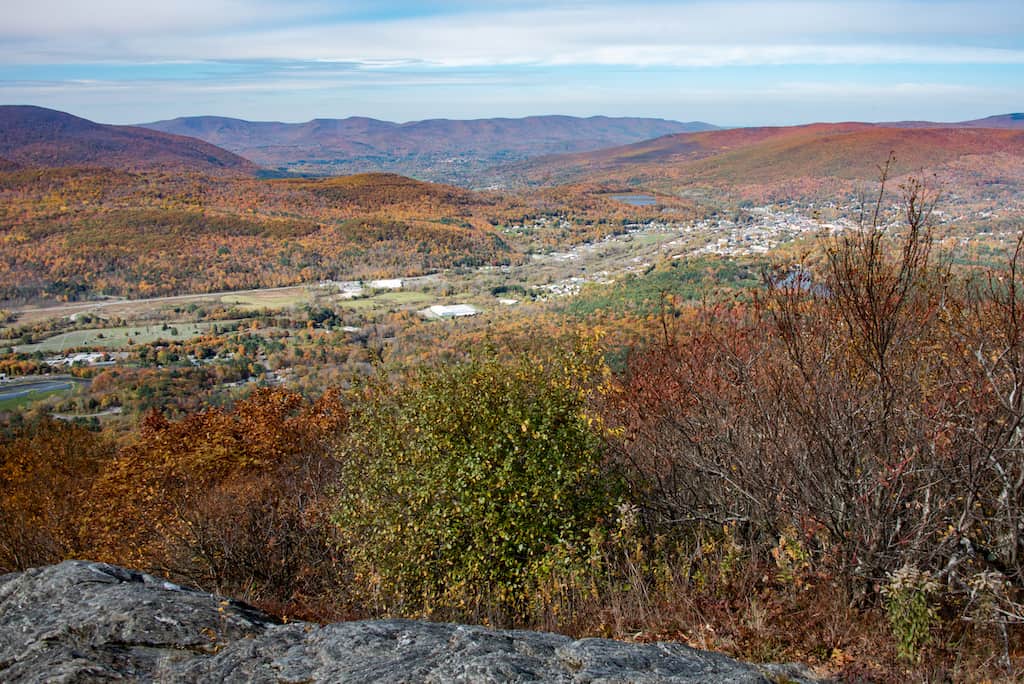
The hike to Sunset Rock totals 1.6 miles and features sweeping views of North Adams and the surrounding valleys. As the name suggests, this is a great spot to watch the sunset. Just be sure to bring a flashlight or headlamp for the hike back down.
The Sunset Rock hike is part of the longer Hoosac Range Trail, which leads to Spruce Hill and totals 6 miles.
The Hoosac Range Trail ascends a series of switchbacks to Sunset Rock. It is not particularly steep, but it is all uphill. This is suitable for families with elementary-age kids and is gorgeous during the fall foliage season.
If you have the stamina for a longer hike, keep going to Spruce Hill. The full 6-mile out-and-back hike is totally doable, and I’ve included the details below.
Spruce Hill via the Hoosac Range Trail, North Adams, MA
Difficulty level: Moderate to strenuous. The trail is mostly ridgeline walking, with a few steeper spots and some stone steps. | Length of trail: 5.7 miles, round-trip | Elevation gain: 850 feet | Dogs: Yes | Fee: Free | Trail Guide | Directions to trailhead on Google Maps
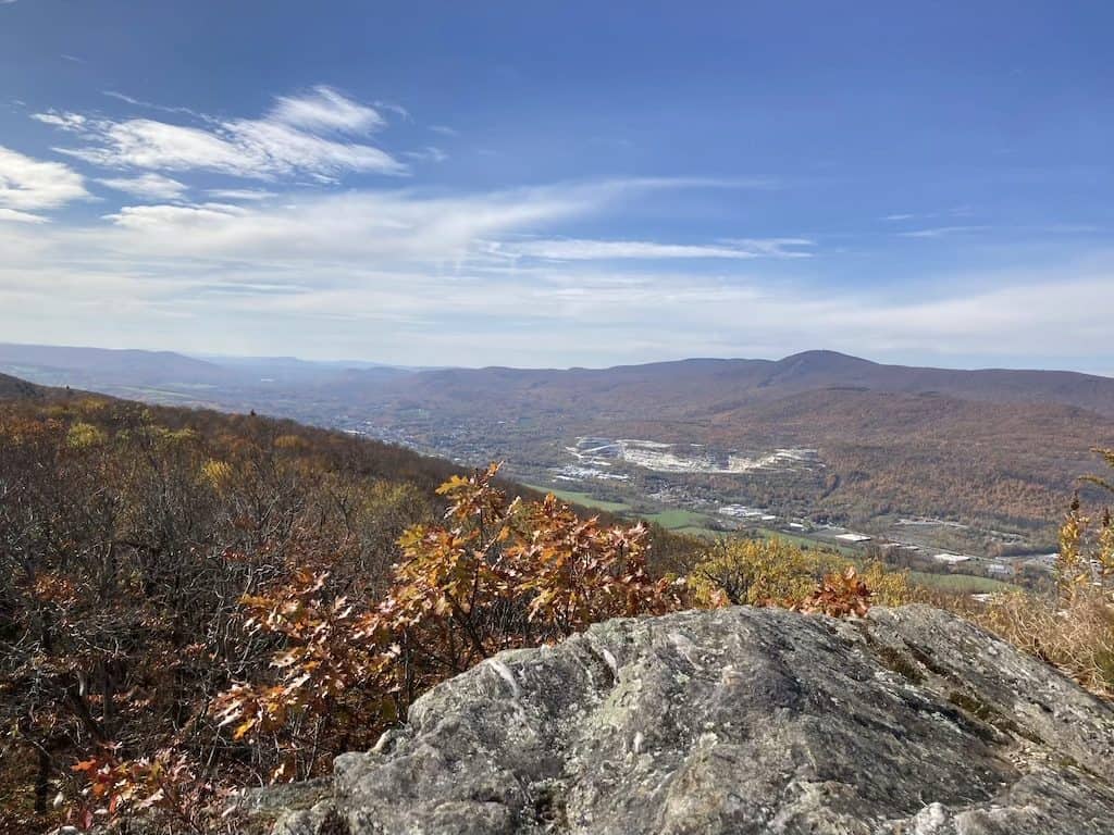
Sunset Rock is a fine destination on its own, but the full Hoosac Range Trail to Spruce Hill is one of the best ridge hikes in the Northern Berkshires. From Sunset Rock, the trail keeps going for about 3 miles along the ridgeline. It passes outcroppings of Hoosac schist and moss- and lichen-covered cliffs, with carefully placed stone steps to get you over the rough spots.
The trail ends at the open summit of Spruce Hill, at 2,570 feet, in Savoy Mountain State Forest. The views take in the Hoosac Valley, Adams, North Adams, Mount Greylock, and Vermont’s Green Mountains. In autumn, the summit is a good place to watch migrating hawks.
Give yourself three to four hours for the round trip, and pack plenty of water and snacks. For a shorter route to the summit, you can also reach Spruce Hill from the Busby Trail in Savoy Mountain State Forest.
March Cataract Falls, Williamstown, MA
Difficulty level: Easy | Length of trail: 2.3 miles, round-trip | Elevation gain: 469 feet | Dogs: On leash |
Fee: Free | Trail Guide | Directions to trailhead on Google Maps
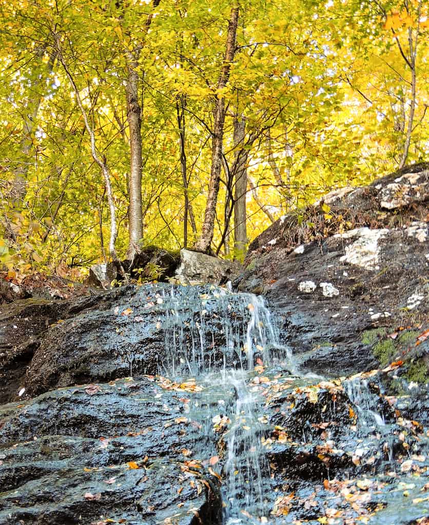
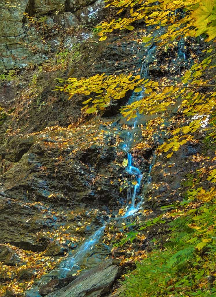
You can reach Mount Greylock’s loveliest waterfall on an easy trail through a mixed hardwood forest. I won’t go into too much detail here because I’ve covered March Cataract Falls in a separate post.
The falls are fullest in the spring, and dry to almost a trickle in the fall, but the colorful leaves more than make up for that.
Notes: The trailhead is located next to Sperry Road Campground on Sperry Road in Mount Greylock State Reservation. The Mount Greylock roads are only open seasonally (in 2026, May 16 through October 30).
Natural Bridge State Park, North Adams, MA
Difficulty level: Easy | Length of trail: A quarter-mile walk above and through the chasm, plus short connecting trails | Dogs: On leash Fee: Free in 2026 | Trail Guide | Directions to trailhead on Google Maps
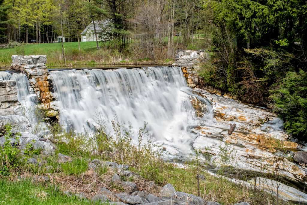
This short, easy walk packs in more geology than almost any hike in Massachusetts. Natural Bridge State Park protects the only natural white marble arch in North America, formed from marble that is roughly 550 million years old and carved by glacial meltwater more than 13,000 years ago.
A walkway takes you above and through a quarter-mile marble chasm, where you can look down on Hudson Brook rushing through the gorge. The park is also home to a man-made white marble dam, the only one of its kind in North America.
The trails here are short, so this is a perfect stop for families or anyone who wants a quick leg-stretcher before or after a bigger hike in North Adams.
Notes: The park is open seasonally (May 16 through October 25 in 2026), 9 am to 4:30 pm. Visitors may enter the park from the road when the gate is closed. Visit the Natural Bridge State Park webpage for current conditions.
Money Brook Falls, Mount Greylock State Reservation
Difficulty level: Moderate. The trail is short, but it’s steep in places, with plenty of roots and rocks |
Length of trail: 1.1 miles, round-trip | Elevation gain: 396 feet | Dogs: On leash | Fee: Free | Trail Guide | Directions to trailhead on Google Maps
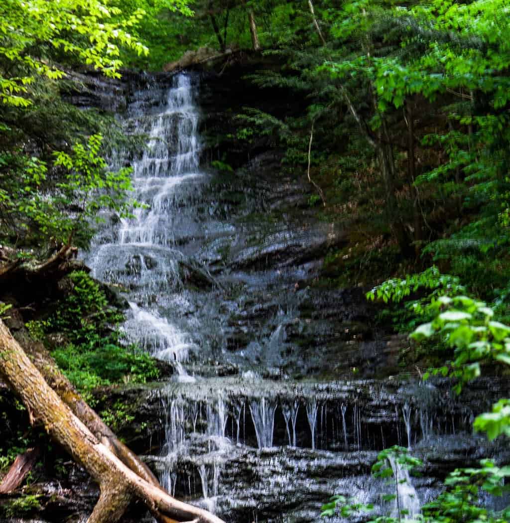
Money Brook Falls is one of Mount Greylock’s prettiest waterfalls, and the Notch Road approach makes it one of the quickest to reach.
From the trailhead, the Money Brook Trail descends steadily through the forest to a small junction. Turn left there and follow a steep path down alongside Money Brook to the falls, a large cascade tumbling through a mossy ravine. If you turn right at the junction instead, you’ll reach Wilbur’s Clearing Shelter, a backcountry camping area.
The rocks near the falls can be slippery, especially after rain, so take your time. For a longer hike, you can also reach the falls from the Hopper Road trailhead in Williamstown, a round-trip of about 6 miles.
Notes: The trailhead has a small gravel parking area on the shoulder of Notch Road. Notch Road is only open seasonally (in 2026, May 16 through October 30). When the road is closed, you can only reach the trail on foot.
Sperry Road to Stony Ledge, Mount Greylock State Reservation
Difficulty level: Easy | Length of trail: 1.9 miles, round-trip | Elevation gain: 246 feet | Dogs: On leash | Fee: Free | Trail Guide | Directions to trailhead on Google Maps
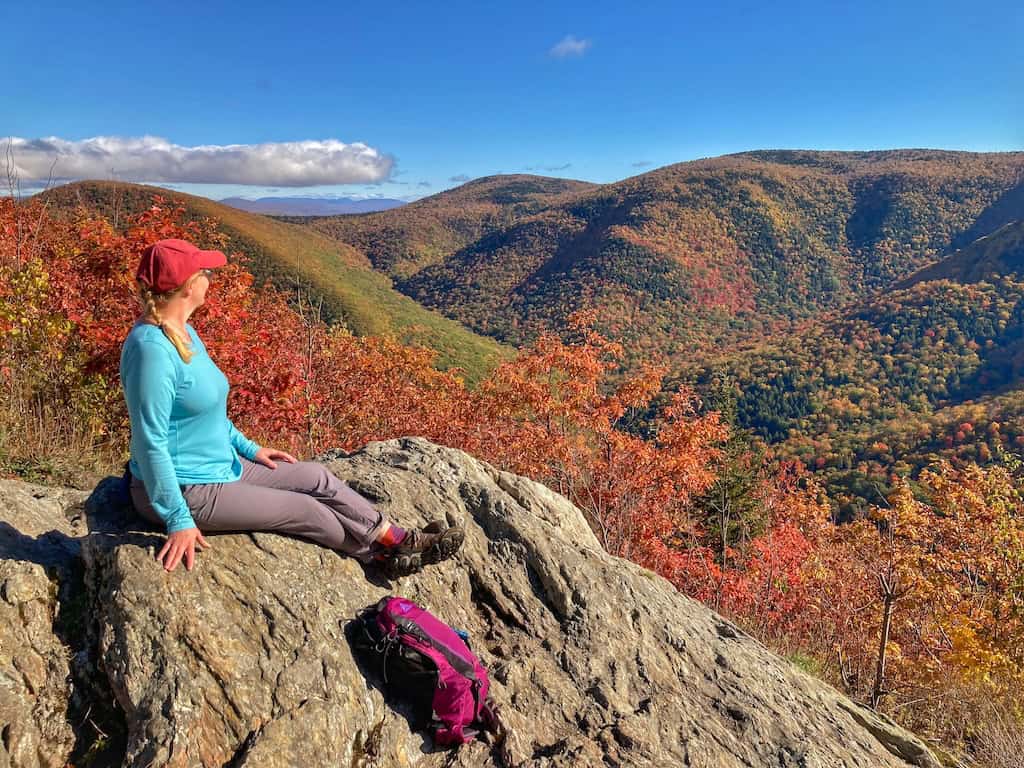
Stony Ledge offers what might be the best view of Mount Greylock. This bare rock outcropping looks straight across the Hopper, a steep, forested valley, to the Greylock massif, with Mount Prospect, Mount Williams, Mount Fitch, Saddle Ball Mountain, and the Veterans War Memorial Tower on the summit all in view. You can see north into Vermont on a clear day.
The route is mostly gentle, following easy single-track and a gravel road through the Sperry Road camping area. Since you’ll pass right by the March Cataract Falls trailhead, it’s easy to combine the two hikes into one great day on the mountain.
If Rockwell Road is closed, you can still reach Stony Ledge year-round by climbing 1.8 miles on the Stony Ledge Trail from the Roaring Brook trailhead, though that route is much steeper.
Hiking in the Berkshires: Southern Region
These trails are located near or south of Pittsfield, Massachusetts.
Stevens Glen Trail, West Stockbridge, MA
Difficulty level: Easy to moderate. The loop is flat and easy. The spur trail to the glen is uphill.
Length of trail: 1.1 miles (round trip) | Elevation gain: 282 feet | Dogs: Yes | Fee: Free | Trail Guide | Directions to trailhead on Google Maps
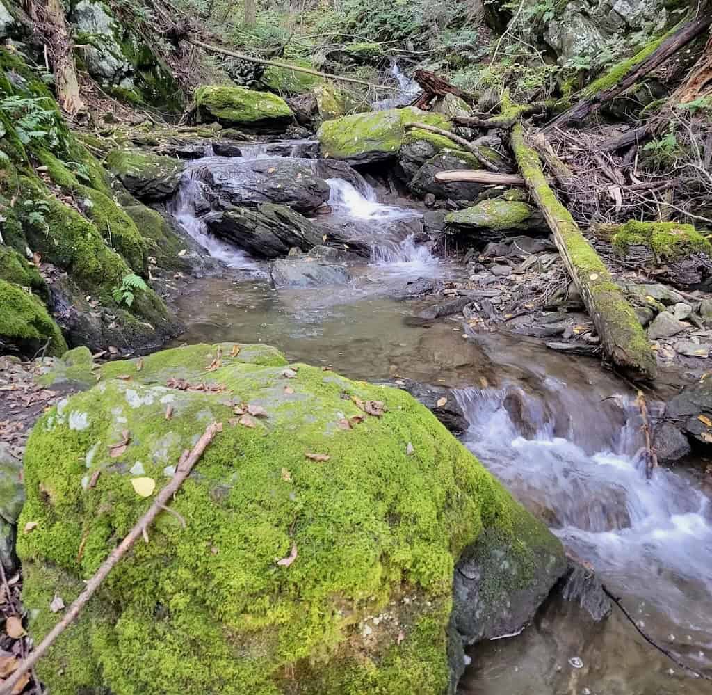
This 1.1-mile loop through Stevens Glen takes you through a deep, dark hemlock forest, across two footbridges, and eventually, through a birch forest to Stevens Glen, where you’ll find a very narrow gorge with a 40-foot, ribbon-thin cascade that is gorgeous in the spring.
The spur trail takes you to a nice viewing platform with a bench for relaxing. Retrace your steps on the spur trail until you return to the loop. If you visit in the summer, be sure to spend some time barefoot in the streams.
Bash Bish Falls, Mt. Washington, MA
Difficulty level: Easy to moderate from the New York parking area. Steep from the Massachusetts parking area. | Length of trail: 1.5 miles round trip from the New York lot, 0.6 miles round-trip from the Massachusetts lot | Dogs: On leash Fee: Free | Trail Guide | Directions to trailhead on Google Maps
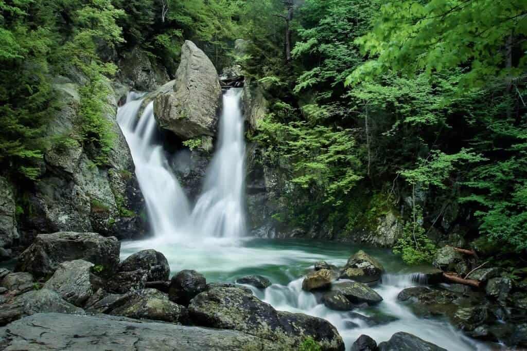
I couldn’t create a hiking-in-the-Berkshires post without including Bash Bish Falls. This is the highest single-drop waterfall in Massachusetts, and it’s a looker!
Visitors can either park at the base of the falls in New York or at the top of the falls in Massachusetts. The falls are located in Bash Bish Falls State Park in Massachusetts, but very close to the border. The hike down to the base of the falls from the Massachusetts parking area is a very steep ⅓ of a mile. If you park in the lower lot, the hike is easy and just ¾ of a mile with an elevation gain of 150 feet.
Swimming and entering the water are prohibited, and visitors must stay in the designated viewing area at the base of the falls. Alcoholic beverages are not allowed in any Massachusetts State Parks. For more extensive hiking, visit Mount Washington State Forest, just south of the falls, or Taconic State Park across the border in New York.
Hickey, Peeskawso and Mohican Monument Loop in Monument Mountain Reserve, Great Barrington, MA
Difficulty level: Easy to moderate | Length of trail: 3.8-mile loop | Elevation gain: 538 feet | Dogs: On leash | Fee: $10 for parking (free for Trustees members) | Trail Guide | Directions to the trailhead on Google Maps
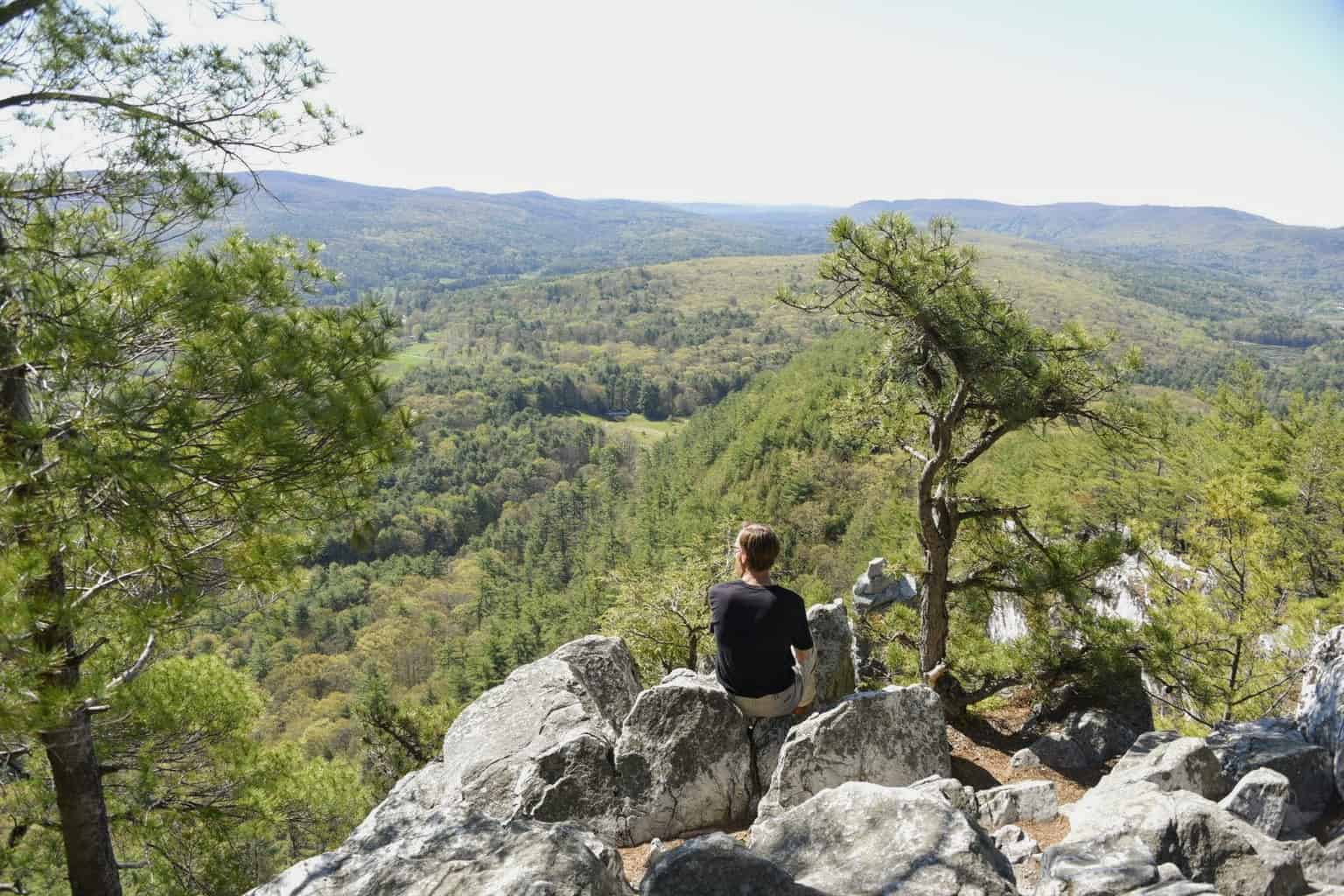
This is a new hike for us, but we love it!
Monument Mountain is a 503-acre preserve managed by The Trustees.
I think the best views are along the Peeskawso Peak Trail, and on our recent hike, we did the Hickey, Peeskawso, and Mohican Monument Loop. Several small waterfalls line the Hickey Trail.
Fair warning, though: these trails are popular with both locals and visitors, so I recommend hiking in the early morning. There is a $10 fee for parking at the trailhead for nonmembers.
Notes: Detailed information, directions, and a trail map can be found on The Trustees website. The parking lot is not maintained in winter.
Insider Tip: We included the hike up Monument Mountain on our detailed 3-day itinerary for Stockbridge, MA. If you are planning a longer visit, be sure to check it out.
Bartholomew’s Cobble in Sheffield, MA
Difficulty level: Easy to Moderate | Length of trail: 5 miles of trails can be combined based on your time and stamina. | Dogs: No | Fee: $5 per adult and $1 per child (ages 6 to 12) for nonmembers. Free for Trustees members | Trail Guide | Directions to the trailhead on Google Maps
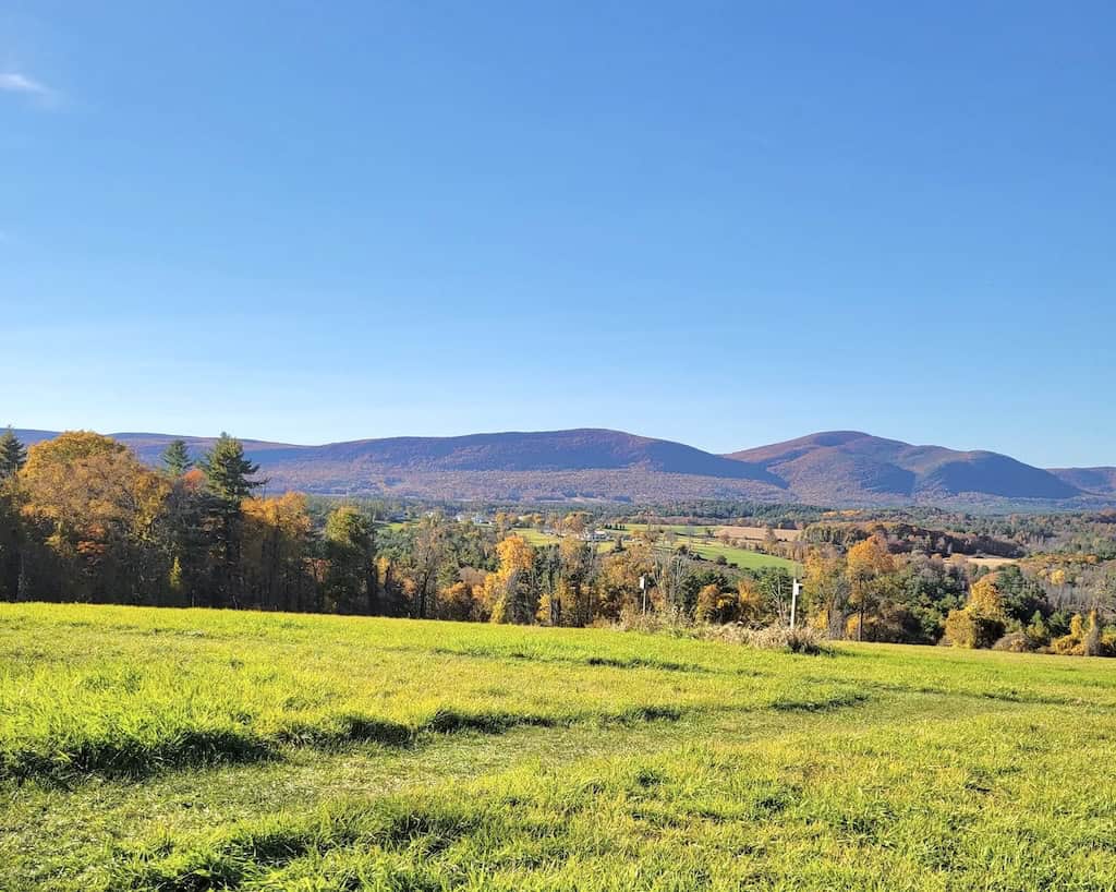
This is what hiking in the Berkshires is all about: gorgeous, long-distance views, dancing streams, hardwood forests, and lush meadows. Bartholomew’s Cobble was named a National Natural Landmark in 1971 and encompasses 442 acres through many different ecosystems, as well as five miles of well-marked hiking trails.
The Ledges Trail is our favorite. It’s a half-mile loop that takes visitors around the “cobbles” and past several caves. If you want a bit more exercise, consider hiking to the top of Hurlburt’s Hill, which provides sweeping views of the surrounding mountains and valleys.
Notes: Bartholomew’s Cobble is maintained by The Trustees of Reservations. Visit their website for a detailed trail map.
Mahanna Cobble in Pittsfield, MA
Difficulty level: Easy to Moderate | Length of trail: 3.2 miles, round-trip | Elevation gain: About 600 feet | Dogs: Yes | Fee: Free | Trail Guide | Directions to Bousquet Mountain
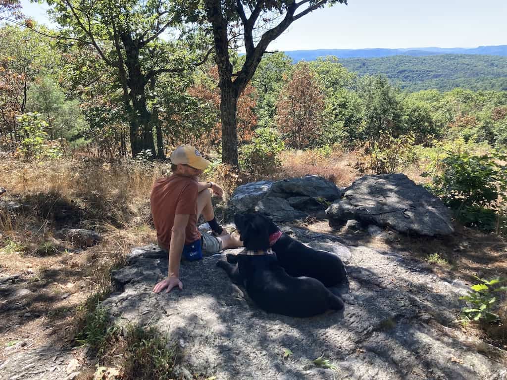
Located just outside of Pittsfield at Bousquet Mountain, the trail to Mahanna Cobble is short and steep, but not unbearably so. It’s a 3.2-mile trek (round-trip) through an enchanting hardwood forest that leads to a south-facing vista on Yokun Ridge.
Southern views are gorgeous on a clear day, and there’s a well-placed bench where you can catch your breath and ponder the following quote engraved there: “If a person lost would conclude that after all he is not lost, he is not beside himself, but standing in his own old shoes on the very spot where he is, and that for the time being he will live there; but the places that have known him, they are lost, how much anxiety and danger would vanish.” Henry David Thoreau
Read Next: The Best Things to do in Pittsfield, MA with Dogs
Bluebird Trail, Beaver Ledge Trail, Old Wood Road, and Alexander Trail, Pleasant Valley Wildlife Sanctuary, Lenox, MA
Difficulty level: Easy | Length of trail: 1.3 mile loop | Elevation gain: 98 feet
Dogs: No | Fee: $5 for adults and $3 for seniors and children (ages 2 to 12) for nonmembers. Free for Mass Audubon members | Trail Guide | Directions to the trailhead on Google Maps
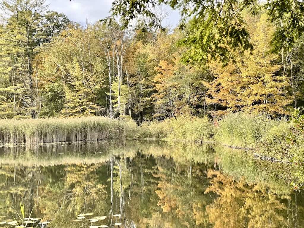
Pleasant Valley Wildlife Sanctuary is a 1,405-acre Mass Audubon property tucked into the hills of Lenox, and it offers something for every type of hiker.
If you’re hiking with little ones, the mostly flat Bluebird Trail, Beaver Ledge Trail, Old Wood Road, and Alexander Trail make a nice loop that can be hiked in under an hour.
For a real workout, take the Trail of the Ledges and Overbrook Trail loop to the summit of Lenox Mountain at 2,126 feet. It’s a strenuous 3-mile round-trip with 892 feet of elevation gain, and the panoramic views at the top are worth every step.
Notes: The trails are open daily from dawn to dusk, and the nature center is open from 9 am to 4 pm. Visit the Mass Audubon website for trail maps and programs.
Cobble Hill Loop, Tyringham Cobble, Tyringham, MA
Difficulty level: Easy to moderate | Length of trail: 2.1-mile loop | Elevation gain: 439 feet | Dogs: On leash | Fee: Free | Trail Guide | Directions to the trailhead on Google Maps
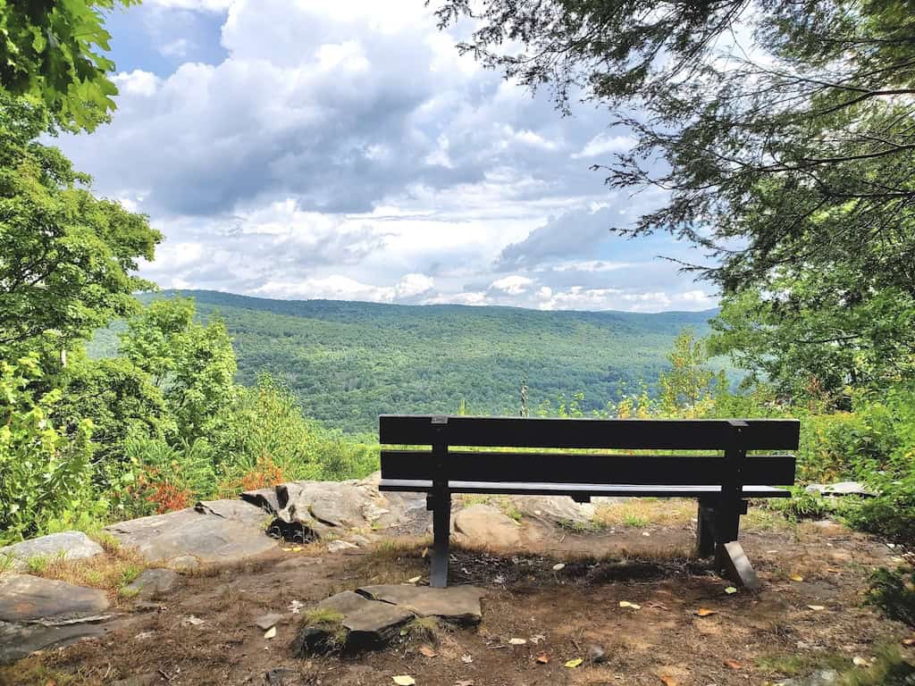
Tyringham Cobble is a 206-acre reservation with twin rocky knobs overlooking one of the prettiest valleys in the Berkshires. The 2.1-mile loop climbs through fields and woods to a summit meadow that’s perfect for a picnic, with views of the village of Tyringham and Hop Brook below.
A section of the Appalachian Trail passes through the property, and you’ll also find Rabbit Rock, an unusually shaped rock formation, along the way. Wildflowers and berries line the trail in summer.
The land has a long history, too. Shakers farmed this valley in the 1800s, and a group of local conservationists known as “The Cobblers” worked to protect it in the 1930s.
Notes: Tyringham Cobble is managed by The Trustees and is open daily from sunrise to sunset. The 16-car parking lot is not plowed in winter.
Best Hikes in the Berkshires for Fall Foliage
Fall is a magical time for hiking in the Berkshires. Peak color usually arrives in early to mid-October, starting on the high ridges like Mount Greylock and working its way down into the valleys. These are some of our favorite hikes for leaf peeping:
- Pine Cobble Trail: The oak forest glows in autumn, and the summit cobbles look out over Williamstown and North Adams.
- Sunset Rock and Spruce Hill: The views from the Hoosac Range Trail stretch across the valleys around North Adams.
- Stony Ledge: You’ll get a head-on view of Mount Greylock’s slopes from across the Hopper.
- Monument Mountain: It’s a classic fall hike, so arrive early to beat the crowds.
- Tyringham Cobble: The summit meadow overlooks a patchwork of colorful hillsides and farmland.
- March Cataract Falls: The water may be low in the fall, but the foliage makes up for it.
Plan ahead for a fall visit, because some of these trails are only accessible for part of the season. The Mount Greylock roads close in late October, and Natural Bridge State Park closes for the season on October 25 (although you can still park outside the gate and walk into the park). Fall is also hunting season in Massachusetts, so wear blaze orange, especially on state forest land.
The Berkshires are within a day’s drive of New York City, Boston, Montreal, and Philadelphia, and there is so much to do. We often head to the Berkshires for the food, the concerts, and the incredible art, but hiking is our number one reason for visiting.
No matter why you come to explore the Berkshires, be sure to take some time for outdoor adventures. For more awesome day hiking ideas in the Berkshires, I highly recommend AMC’s Best Day Hikes in the Berkshires.
Follow us on social media for more outdoor inspiration!


The Cascades Trail’s easy rating needs a little qualification for families choosing it from the table. The riverbank scramble and the extra scrambling into the gorge for a better view are separate considerations, even on a walk with little elevation gain. Reaching the end of the trail can be a sensible stopping point if anyone in the group is uncomfortable on rocks.